The Kootenai River Campground is located two miles west of the town of Troy, Montana. We are in the heart of the Kootenai National Forest. Popular activities include great motorcycling, canoeing, kayaking & rafting, hiking, swimming in lakes and rivers, hunting, fishing, biking, and OHV exploring.
Glacier National Park, The Cabinet Mountain Wilderness and Creston, BC all make perfect day trips.
Glacier National Park, The Cabinet Mountain Wilderness and Creston, BC all make perfect day trips.
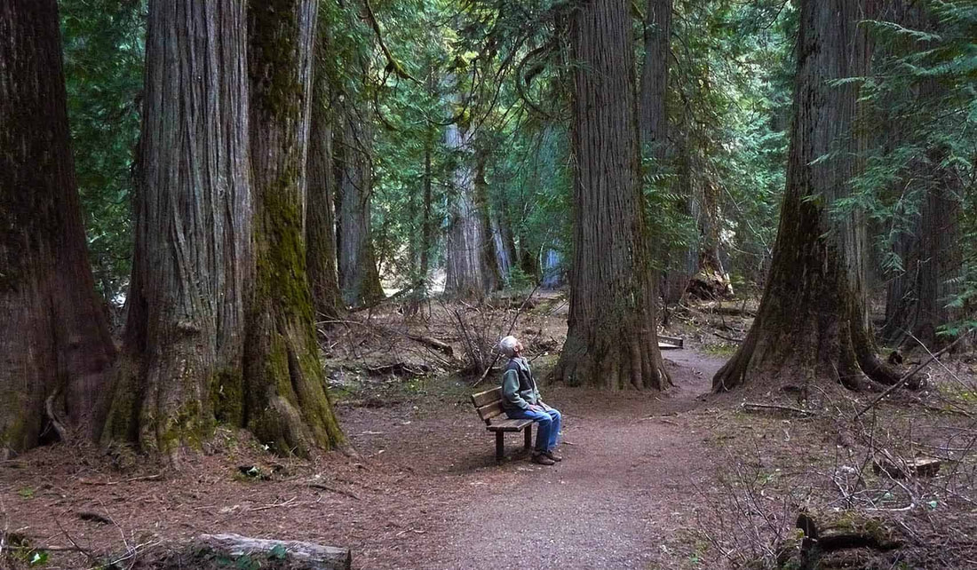
The Ross Creek Cedars
This 100-acre scenic area is home to a grove of giant, ancient western red cedars. Some of these trees grow up to 12 feet in diameter and 175 feet in height. Consisting of 1000 year-old giant red cedars in a rain forest atmosphere, this area is a favorite with visitors to the Forest. There are both a paved nature trail (a very easy walk with informational signs and benches along the route), and Ross Creek Trail #142 which is 4.5 miles in length and is an excellent day hike through a closed canopy of cedars and hemlocks.
The road to the Cedars is paved but because the road is somewhat steep and winding there is a trailer parking area at the base.
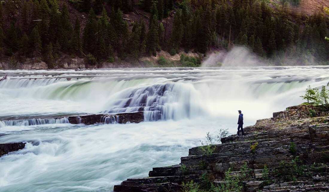
Kootenai FallsKootenai Falls is the largest undammed falls in the state and a major attraction to those traveling through the area. It offers unforgettable and breathtaking views as the Kootenai River loses 300 feet in elevation traveling just a few hundred yards down river.
The Wildlife Management Area provides walk in fishing opportunities along three miles of the Kootenai River. Wildlife viewing: Bighorn sheep, white-tailed deer, and mule deer may be seen during any time of year, but are most observable from fall through spring. Black bears are regular fall visitors. Moose and elk are seen occasionally, while bobcats and mountain lions are often present but seldom viewed. Bald eagles are in the vicinity throughout the year and ospreys are common during spring and summer. Shorebirds, waterfowl and a host of songbirds can be seen along the river during much of the year. While at the falls, be sure to visit the swinging bridge. For the more adventures, the bridge provides access to the opposite side of the Kootenai River. To the Kootenai Tribe, the falls is considered a sacred site. Would you like to see an excellent video flyover of the falls? Click Here |
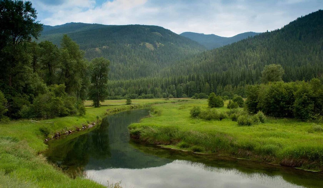
Yaak ValleyAn Indian word meaning arrow, Yaak anchors Montana as the most northwest town in the state. The Northwest Peaks Scenic Area, a popular hiking area, features spectacular mountain wilderness and scenery. The Yaak Valley offers backcountry OHV trails, camping, fishing, hiking trails, mountain lakes, mountain biking and wildlife viewing.The trip through the Yaak Valley is spectacular in itself. The road follows much of the Yaak River and at one point passes the Yaak Falls. During spring and early summer tremendous viewing opportunities abound in the Yaak River area as the snowmelt follows its way down and over the falls. For any photographer, this is one sight that shouldn't be missed. This beautifully cascading waterfall was created by the eastward shift of the Pacific plate. As a result of this shifting, some of the oldest rock in the world is exposed. The rock is dated between 800 million and one and a half billion years old. Yep, that is billion with a “B”. Of the many things to see and do in the forest, visitors rank this tour as the highlight of their trip.
There are two loops you can take. The long loop takes you up into the Yaak and crosses the bridge near Rexford. From there you follow Hwy 37 down along Lake Koocanusa or make your way up to Eureka. |
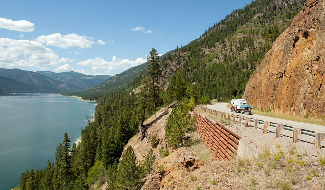
Lake KoocanusaLake Koocanusa Scenic Byway was created in 1992 to become the Northern Region's 5th scenic byway. It follows the Kootenai River and Lake Koocanusa via State Highway 37. Open year-round, this 67-mile route connects Libby and Eureka. The byway also includes a side loop (Forest Development Road 228) around the west side of the lake, a more leisurely, two-lane, paved route that is closed in winter. Numerous hiking trails in the Kootenai National Forest intersect the Byway.
Lake Koocanusa was formed behind Libby Dam which was completed in 1974. The lake extends 90 miles north from the dam into British Columbia. The scenic byway highlights the southern half of the reservoir. To the untrained ear, Koocanusa sounds much like a Kootenai Indian word. However, it is a modern creation. When the dam was under construction, the Corps of Engineers conducted a contest to name the lake. A woman from Eureka, Montana, won the contest by taking the first three letters from the words Kootenai and Canada and adding USA to create the name Koocanusa. "See you learned something new today" |
